Discover new views on a hike up Cline Butte
Published 12:00 pm Thursday, November 21, 2024
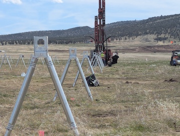
- Black Butte looms above the desert floor west of Cline Butte. Though this reporter has seen Black Butte many times, it's never before been from the unique vantage the butte affords.
Clines Butte is a series of three connected hills west of Redmond and adjacent to Eagle Crest Resort. Though the three domes are a staple of Central Oregon’s High Desert skyline, and I’ve been close many times, such as when visiting nearby Maston riding area, I’d never made the trek up to the top before last Saturday.
Truth be told, I think of it as a mountain biking destination, and that’s for good reason, as my wife and I discovered when we arrived at the Cline Rock Pit Trailhead (67401 Cline Falls Road, Redmond), where we saw maybe 20 parked vehicles with bike racks.
Recent All Trails reviews warn Cline Butte Loop hikers of how they’ll be outnumbered by mountain bikes, and how hikers might want to do the trail clockwise, because doing it counterclockwise, as we learned, meant a steep descent for the last half mile.
Another review warns, correctly, that you’ll want a good map app as it’s easy to stray from the loop trail. There are plenty of paralleling and intersecting paths on the way up, and my wife’s All Trails app map kept showing that we were near it but not on the official loop trail, the first time that’s happened with the app. There were a couple of stops and turn-arounds that would have been comical in my younger years, but were kind of annoying Saturday at present-day energy and quadriceps, which were pleading for as few steps as possible.
Taking the trail counterclockwise, we worked our way uphill fairly gradually before a descent, ascent to the tallest summit, the 4,117 feet southern peak, where there’s a fenced-off Federal Aviation Administration aircraft navigation beacon. Prior to that, we passed one hiker heading down the way we were going up, and a pair of hikers going our way who helped us stick to the path, just by virtue of where they’d caught up with us.
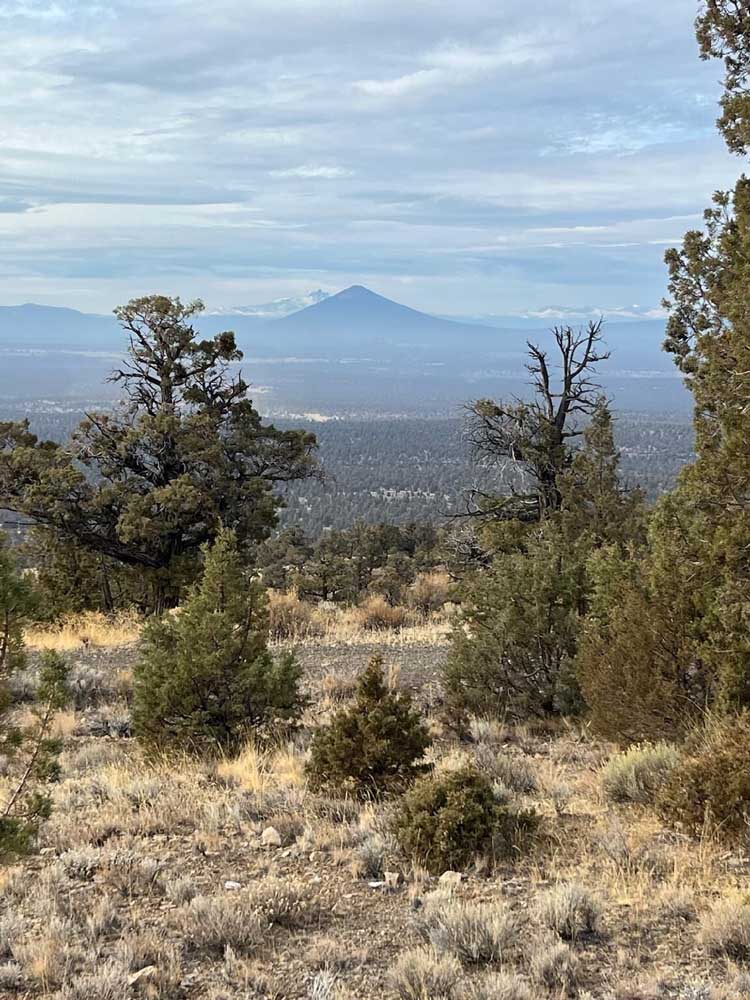
Though there were obviously shorter, steeper ways up, we were glad to take the long way around as it afforded some of the best views of the Cascades Range, including Mount Jefferson and, barely discernible through the cloud cover, Mount Hood.
If you’re not sure-footed and patient about making descents, you may want to take the road back down. At the least, make sure you have sturdy shoes and a hiking stick or trekking poles for balance before the scree has you screaming as you fall.
What’s coming to Cline Buttes Recreation Area?