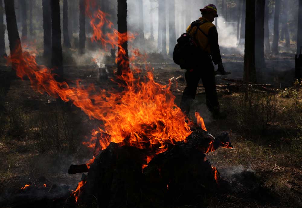
Our view: Oregon’s wildfire risk map comeback tour will start in Redmond
Published 8:00 am Thursday, May 16, 2024

- This is a map of Oregon overlaid with wildfire risk from an assessment made by the U.S. Forest Service in 2018. It is not the state's new wildfire risk map.
Some Oregonians felt blindsided when the state released a wildfire map in 2022 showing their homes in risky areas.
Oregonians worried about what it might mean for their insurance rates. They worried what it might mean for the resale value of their homes.
The map was pulled back soon after it was released.
It’s coming back, after some changes to its design, changes to the appeals process and more public input. If you want to be a part of that public input, here’s one way:
The Oregon Department of Forestry will be holding a series of meetings across the state about the map and new defensible space and hardening standards. The first meeting will be in Redmond on June 3, at the Deschutes County fairgrounds, starting at 7 p.m.


-
eEdition

-

-